Flooding in Western Wash. possible as front moves through
Feb 28, 2024, 6:00 AM | Updated: 2:35 pm

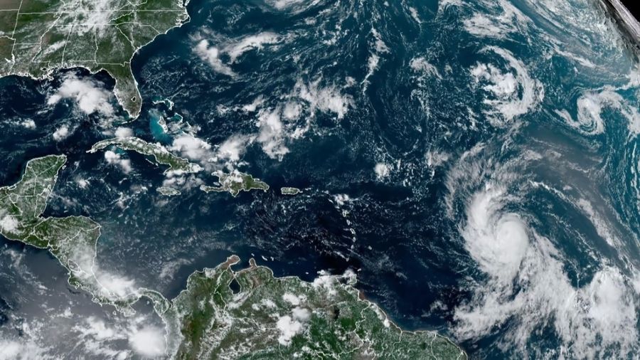
National Weather Service radar showed front moving through Western Washington. (NWS)
(NWS)

A strong frontal system will move across Western Washington Wednesday, according to the National Weather Service (NWS), bringing a round of moderate to heavy rainfall to the region and possible flooding and even some much-needed snow in the mountains.
It’s a wet one out there! A frontal system moving across the area today will continue to bring periods of steady, heavy rain to the lowlands and heavy snow to the mountains. Precipitation will taper to scattered showers late tonight into Thursday in the wake of the system. #wawx pic.twitter.com/VomlmFt1Lm
— NWS Seattle (@NWSSeattle) February 28, 2024
“We have somewhat of an atmospheric river setting up across the area right now,” NWS Meteorologist Dev McMillian told KIRO Newsradio. “We do have a flood watch in place for a number of counties across Western Washington, including King, Lewis, Pierce and Thurston County and a couple of others. Looks like the area could see anywhere ranging from about one to three inches of rainfall across the interior lowlands with much, much higher amounts across the Cascades and Olympic mountains.”
The flood watch is expected to last through Thursday afternoon.
More from Ted Buehner: With March around the corner, thunderstorm season is fast approaching
This system will also produce blustery winds, the strongest being along the southern coast and from Snohomish County northward, reaching 20 to 35 mph with gusts up to 50 mph. A wind advisory went into effect at 4 a.m. Wednesday, expecting to last through 7 p.m.
McMillian stated the high winds could move unsecured objects, such as loose tree limbs or fencing, and a few power outages may result from the weather.
“Keep in mind, the rainfall totals we will see from tonight is also through Thursday afternoon, a multi-day thread. We’re not going to expect to see anything as far as, say severe or completely damaging (weather), but just a good dose of rain, that’s for sure,” McMillian said. “The last atmospheric river we had, the one that impacted us in December, brought numerous hydrological concerns across the area. And the threat of hydrological flooding is here too, but it seems to be mostly tied to some of the more sensitive rivers in our area.”
Weather later this week: March will come in with a roar
Earlier this week, heavy showers containing sleet, soft hail and wet snow occurred sporadically between sunbreaks on Monday and Tuesday. After this system moves inland late Wednesday, another surge of colder unsettled air will swing onshore with more showers, possible thunderstorms and dropping snow levels to around 500 feet again by Friday, meaning March will come in like a lion.
In the lowlands, rain amounts through Wednesday will range from one to two inches. Highs Wednesday will rise to nearly 50 degrees before another surge of colder unsettled air arrives Thursday and Friday for more showers and a threat of thunderstorms.
In the mountains, snow levels will pop up to 3,500 feet Wednesday and then plunge to 1,500 feet Thursday and 500 feet by Friday. Another two to four feet of new snow is expected, making Cascade travel conditions quite difficult. These heavy accumulations of snow will also increase the threat of avalanches and road crews may need to do avalanche control, closing the highways for a bit of time.
From Cliff Mass: Where ‘there will be massive amounts of snow’
Contributing: Lisa Brooks, KIRO Newsradio
Ted Buehner is the KIRO Newsradio meteorologist. You can read more of Ted’s stories here and follow him on X, formerly known as Twitter.
Bill Kaczaraba is a content editor at MyNorthwest. You can read his stories here. Follow Bill on X, formerly known as Twitter, here and email him here.