Mountain snowpack sending major warnings about water supplies
Feb 15, 2024, 3:47 PM | Updated: Feb 16, 2024, 5:44 am

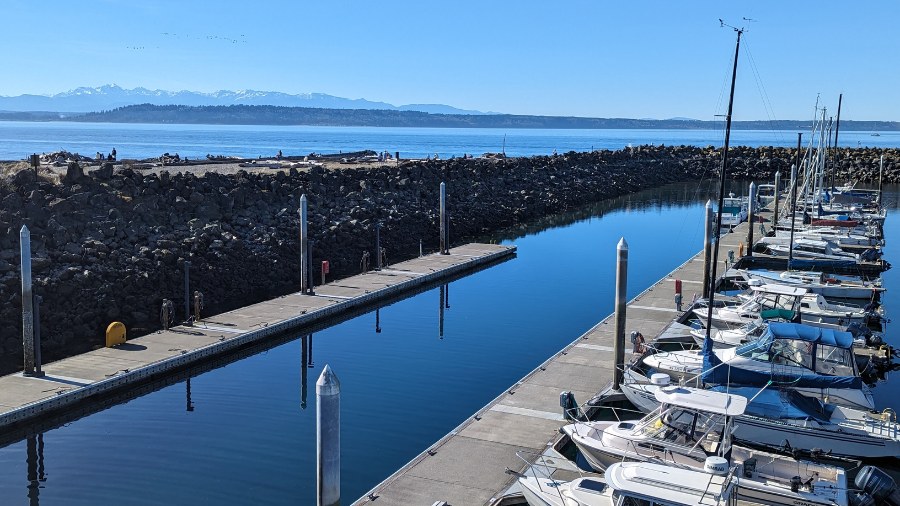
Snowpack levels are below normal this season. (KIRO 7)
(KIRO 7)

It’s the middle of February and Washington’s mountain snowpack is well below average from where it should be. The mountain snowpack usually peaks around April 1, meaning there are just six weeks left to play at least some catch-up.
According to updated snow statistics from the Northwest Avalanche Center as of Thursday, the snow depth at Hurricane Ridge in the Olympics is just around 30% of the average. In the Cascades, Mt Baker is on the low end at close to 40% of the average while Paradise on Mt. Rainier is at the high end at 83% of the average.
All other Washington locations ranged from 45 to 75 of normal snow depth for mid-February. According to the Avalanche Center, these snow depths are the third worst since the start of this century.
The amount of water in the snowpack reported today by the Natural Resources Conservation Service (NRCS) showed only about 30% of average in the Olympics, and the Cascades ranging from about 50-75% of normal for mid-February.
A low snowpack is dangerous because it means less water in the summer for farms and drier forests during wildfire season.
More from Ted Buehner: There really is a difference between rain and showers
El Niño has played a large role in the meager mountain snowpack this winter. El Niño is when sea surface water temperatures in the tropical Eastern Pacific Ocean are warmer than average. Those warm waters adjust tropical weather patterns in that region that, in turn, alters how the Northern Hemisphere storm track driven by strong upper-level winds – the Jetstream – moves.
This winter’s North Pacific storm track has mirrored typical El Niño conditions, with the majority of storms moving into California and the desert Southwest, while the Pacific Northwest has experienced warmer-than-average temperatures. The overall warmer-than-average winter has resulted in a generally higher mountain snow level, with rain falling in the lower elevations. The result? A less-than-average mountain winter snowpack to this point.
Eastern Pacific Ocean tropical water temperatures are now showing signs of cooling, meaning this strong El Niño event is fading. If longer-range sea surface temperature guidance is on track, El Nino is expected to weaken this spring and, by this coming fall, could swing to La Niña conditions.
La Niña is when those same Eastern Pacific Ocean tropical waters are cooler than average, similar to the La Niña conditions experienced during the previous three winters prior to this winter. La Nina winters usually produce cooler and wetter than average conditions in the Pacific Northwest with a healthy mountain snowpack.
In the meantime, the latest National Weather Service Climate Prediction Center seasonal outlook released today maintained the ongoing solid odds of warmer-than-average temperatures all the way through this summer, while the odds of precipitation are near or tipped toward below average. This seasonal outlook does not offer good news for building and raising the mountain snowpack anywhere close to average in the coming weeks.
There are two primary impacts of a well below-average mountain snowpack. One is water supply. This past warm, dry summer resulted in some wells going dry in Whatcom County and water storage reservoirs running shy of daily consumer use, such as Seattle Public Utilities Cedar River projects.
Lower mountain snowpack runoff later this year could result in a shortage of water supplies, including those for municipal consumption, fish, agriculture, hydropower production, recreation and more. With lower stream flows later this year, warmer water temperatures could adversely impact fish migration and some areas could have algae blooms. Similar conditions were experienced during the summer of 2015.
More from Ted: Who do we share the term ‘sunbreak’ with?
The other major impact could be an extended wildfire season. Unless there is a cool, wet spring that is not currently in the seasonal outlook, the wildfire season could get off to an early start and be prolonged through the summer. Since 2017, Western Washington has had six out of the last seven summers with periods of wildfire smoke and poor air quality.
And wildfires are no longer just an east of the Cascades issue. In recent years, the number of wildfires in Western Washington has come close to the volume of events in Eastern Washington, according to the Washington Department of Natural Resources.
Water managers, power utilities, and wildfire managers are closely monitoring weather conditions heading into this spring and summer. If the longer seasonal outlook for this winter becomes a reality, La Nina could turn things around by this coming winter. Yet until then, now is the time to prepare later this year for likely more limited water supplies and an active wildfire season.
Ted Buehner is the KIRO Newsradio meteorologist. You can read more of Ted’s stories here and follow him on X, formerly known as Twitter